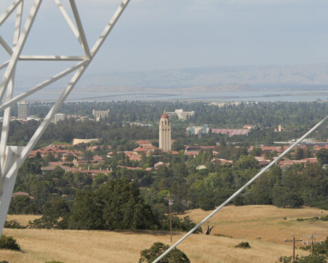
We might be a bit biased, but in our semi-objective opinion, running is the singular best way to get exercise. Why waste precious minutes of your life lifting weights in a stuffy gym when you could be zooming down the streets of Menlo Park, Palo Alto, Atherton, or East Palo Alto. As members of a “national record breaking” track team, we’ve explored almost every route possible in the areas surrounding M-A. Here are our top seven—ranging from three to nine miles—plus a few extra bonus trail runs at the end.
Make sure to watch the flyovers of each route. They’re really cool.
Big Bear: 3 mi.
This route is classically M-A and used to be the site of an annual 5k that was discontinued during the pandemic. We like to do our tempo runs here, but it’s also a nice loop if you don’t want to run too far. It’s very shady and there are lots of pretty houses to look at. Just don’t get lost—Lindenwood can be kind of confusing.
Menlo: 3 mi.
This route goes from M-A to Menlo School through downtown Menlo Park. It’s a shorter run, but if you want to add extra mileage, you can go through different side streets to spice it up! There are lots of stop lights which can be annoying if you have shin splints, but are nice if you want an excuse to take lots of breaks mid-run.
Perimeter: 4 mi. (extended perimeter—5 mi.)
This is a nice neighborhood run that goes from M-A down Bay Road and loops back around to M-A along the path on Middlefield Road. If you want to make the route a bit longer, you can add a loop around Holbrook Palmer or Flood Park. This route is great because it’s pretty straightforward, but it can be brutal on hot days because of the lack of shade along Bay Road.
Extended Menlo: 5 mi.
This route goes through Atherton, so it’s a great option when you’re in the mood to think about how excessively huge and dystopian-looking certain houses are. It’s a nice route if you’re looking for tranquil, less-crowded streets as there are never many cars on Isabella Ave. Even though there’s lots of traffic on Valparaiso Ave, there’s a nice trail off to the side.
Community Center: 6 mi.
This route goes through Allied Arts, past a water fountain on Bay Laurel Drive (which is really nice on hot days), through the Stanford West community center (which has a pool that is not-so-nice to look at on hot days), and back along the bike path that parallels Sand Hill. There used to be a seesaw at the community center that was a great place to stop mid-run until it closed (RIP).
Cactus Garden: 6 mi.
This route has plenty of nice scenery to enjoy. It goes through the Stanford campus on the Palm Drive bike path. The garden, which is about three miles in, has a variety of cacti that are supposedly native to Arizona. Remember not to touch them, or you might end up with spikes in your tongue. This might sound obvious, but every year a freshman does it—every single year.
Valpo: 7 mi.
This route is on the higher side of mileage, but fairly straightforward as most of the run is along the path that parallels Valparaiso. The end point is Valpo hill, which you can run up and down for hill repeats if you want to get in a workout that’s not on the boring track.
Bedwell: 8 mi. (Cleo’s Route: 9 mi.)
Both of these routes start at M-A and go to the Bedwell Bayfront park, which is the closest place to get in some trail running near M-A. The route that goes along Bay and Marsh is a mile shorter, but not the most enjoyable since the entire route is on busy unshaded roads, so you’re breathing in car exhaust the whole time. The much better route (which everyone hates except for Cleo and our coach for some reason) goes across the bike bridge and through East Palo Alto, which makes it a mile longer but much more interesting.
Arastradero: 6 mi.
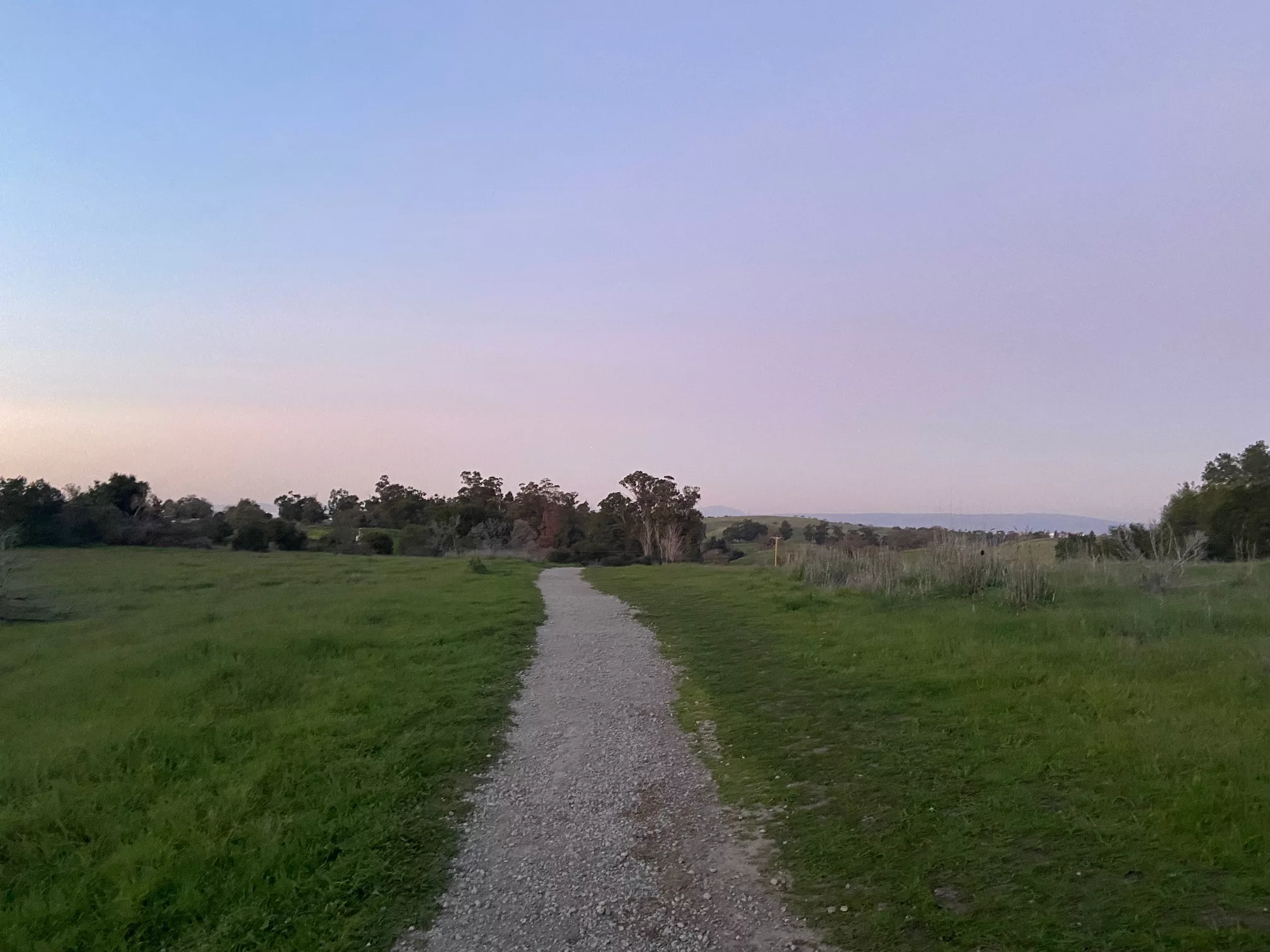
It would be a bit ambitious to run the 16 miles there and back to Arastradero, but it’s definitely worth the drive if you have time. The park is especially beautiful at sunrise and sunset as it offers views of the entire Bay. The nice thing about Arastradero is that there are so many trails that you can improvise a route and turn around whenever you hit half of your target mileage. Our route is pretty great, though, because it takes you out of the meadowy main area of the park to a nice wooded area where it’s easier to avoid running the same loops over and over again. It’s also better for hot days when the other routes don’t offer much shade.
Rancho: 10.5 mi.
This route will definitely leave you feeling like you’ve accomplished something with your day, even if you spend the rest of it procrastinating on your homework. The first and last mile get brutally hot in the summer, so it’s best to run this route as early in the morning as possible. The first couple miles aren’t easy, but after the mile-long hill about halfway through the run, you get a nice downhill through the woods. The downhill almost makes up for the first half of the run, except for the fact that you have to run that treacherous last mile again. There are goats though, which is great.
This route is nice if you want something scenic that doesn’t have all the normal features of a trail since it’s a bike path with no hills, and you can’t really get lost. The route runs along the water, so it offers a nice view. Parts of this run might be blocked off because of last winter’s storms, but the path is in perfect condition if you’re willing to squeeze your way through some barbed wire.